10 August 2014
Reading the Landscape: Roadside Crosses
16 August, 2014 Filed in: Countryfile | Reading the Landscape
Boswarthen Cross, Madron. From Ancient Crosses and Other Antiquities in the West of Cornwall John Thomas Blight 1856
If you’re off on your summer holidays soon, it’s likely that you are not only getting ready for a long journey to the beach, airport or woodland cottage of your dreams, but also preparing for the familiar chorus of ‘are we there yet’ from the back seat. Passing on Robert Louis Stevenson’s adage that it’s “better to travel than arrive” to children is all very well but, despite his interest in pirates, Stevenson never had to drive the family down to Cornwall in a hatchback.
Long trips feel shorter for everyone when the sights and sounds distract from the monoculture of asphalt and white lines. Instead of just commuting to your holiday this year, why not investigate the road and the romantic tales of travel it offers. Indeed, a variety of monuments erected as waymarks, memorials or commemorations of epic voyages of the past can be found in Britain’s verges.
Most of them take the form of the roadside cross which, in Britain, are distributed north and west of the Jurassic line that runs from Dorset to the Tees and marks where upland and lowland meet. A few crosses crop up to the east of this line on the chalk; one such is Fat Betty – often called White Cross – on the North York Moors just south of the Castleton to Rosedale road. Betty has a square, squat base that carries a tiny round head on which the cross itself is inscribed. She also serves as a boundary marker and like much ancient roadside furniture, there is a story attached which links her to other nearby stones and crosses.
Elsewhere, crosses like Boswarthen, near Madron in Cornwall, are sometimes used to mark a route of pilgrimage. Boswarthen stands close to the path that leads to Madron Well, where ‘clooties’ of cloth hang from the trees, slowly rotting away – so the legend has it – as the well’s waters heal the sick.
A set of elaborately decorated crosses adorn the route of a medieval funeral cortege between Lincoln and London. These are the Eleanor crosses; twelve were originally erected in wood between 1291 and 1294, but were later replaced in stone. They mark the twelve day journey of the body of Eleanor of Castile, the wife of King Edward I – each cross was erected at a place where the Queen’s body rested for the night. Of the twelve, only three remain – at Geddington and Hardingstone in Northamptonshire and Waltham Cross in Hertfordshire. A Victorian replica of the original Charing Cross – destroyed by Parliamentarian forces in 1647 – now stands in the forecourt of the railway station named in its honour. As Stevenson would say himself: “Travel for travel’s sake. The great affair is to move.”
Comments
Reading the Landscape: The Beach
15 August, 2014 Filed in: Countryfile | Reading the Landscape
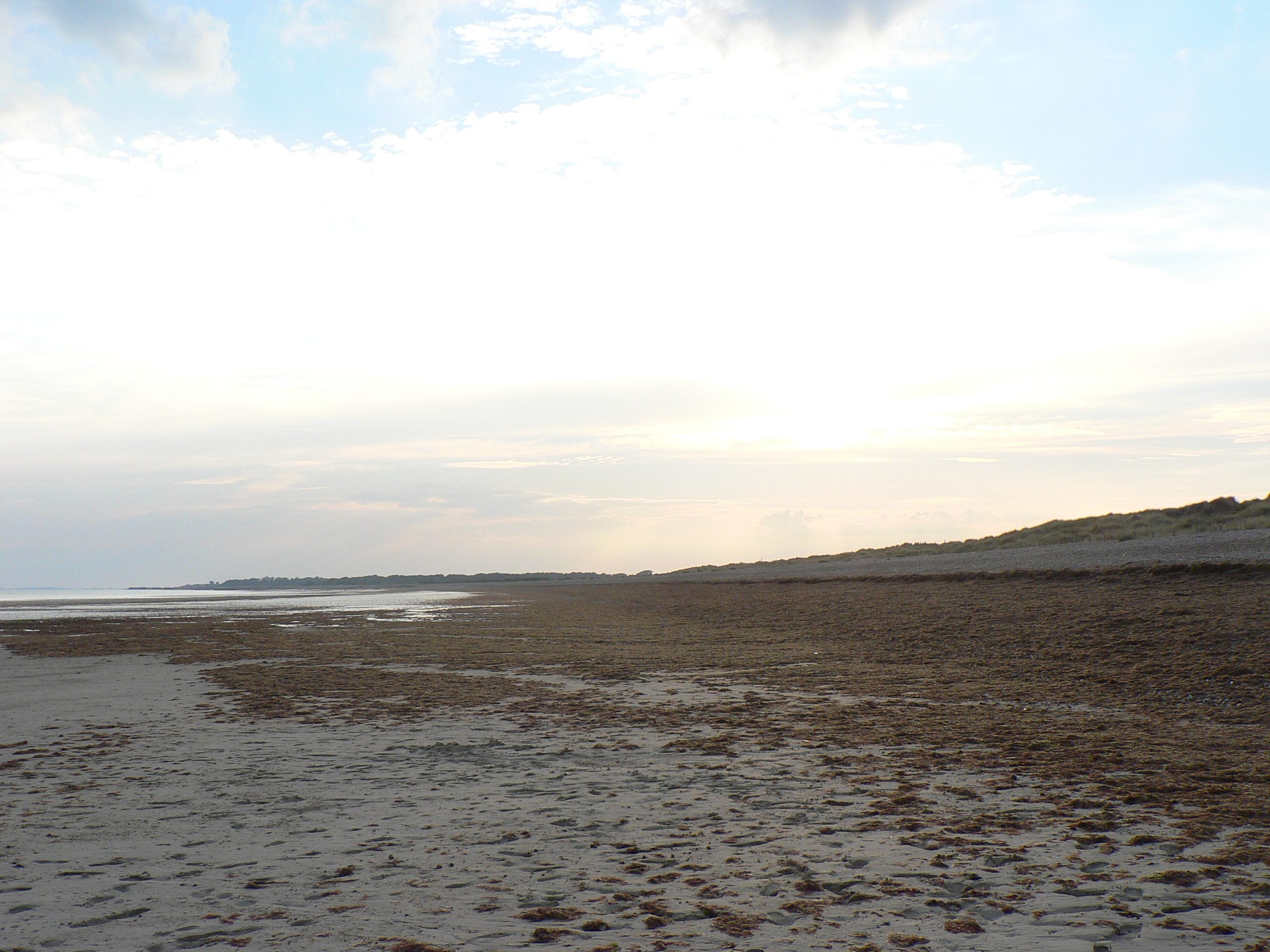
There’s nothing better at this time of the year than a walk along a breezy beach, to blow the cobwebs out of your brain. Aside from its potential to refresh, however, a beach is a unique environment, not least because it is where the normally slow processes that form landscapes occur comparatively quickly, rather than in ten million year blocks of deep time.
While even an ice age takes thousands of years to rise, subside and do its worst, beaches are the scene of constant renewal, with every wave that breaks on the shore adding and removing material. The cumulative effects are revealed over a year, a decade or a century, but in extreme conditions the coast can change even quicker; a storm can create or destroy entire landscapes before your eyes.
The main culprit behind all the heave-ho up and down the beach is longshore drift, a process where sediment-laden waves, blown by prevailing winds, hit the shore at an oblique angle and create a ‘swash’. Gravity then pulls the water, pebbles and sand back down the beach’s steepest gradient, generally at right angles to the shoreline. The passage of every grain of sand describes a zig-zagging, sawtooth pattern along the beach until it reaches another current, an obstacle like a groyne or a headland where the coastline changes direction.
Where the angle of the shore changes, the strength of the longshore current dissipates and drops the sediment, which build up to form a sandbar or spit. One of Britain’s best examples is at Orford Ness in Suffolk; you may be familiar with its elbow-like form from maps but, thanks to medieval cartographers we know it has assumed all sorts of shapes over the years, often growing over a metre a year.
Diffraction of waves around a spit leads to hook-like sandbanks – good examples abound on North Norfolk and Solent coastlines – but where they diffract around an offshore island, tombolos form. St Ninian’s Isle off Shetland’s Mainland and Asparagus Island at Kynance in Cornwall are good examples.
Longshore drift affects every beach, but not all spit-like structures are its creation. Barrier beaches like Slapton Ley in Devon were formed offshore and then rolled into their current position by rising sea levels, stopping when the beach reached higher ground. In Dorset, the lagoons behind Chesil Beach owe everything to timing – sea levels stopped rising around 5,000 years ago and halted the movement of the beach onto the land. Originally made from sand and gravel, Chesil’s creation coincidentally saw the sea reach cliffs in East Devon that has been cut off from the sea since the start of glaciation; and here, longshore drift supplemented the shingle.
Reading the Landscape: Stone Walls
14 August, 2014 Filed in: Countryfile | Reading the Landscape
Like many areas of upland Britain, carns and quoits, tumuli, standing stones and a host of other familiar megalithic field furniture dominates the commons of West Penwith – the Lands End peninsula – but there’s one ancient artefact that barely gets a look-in, the landscape itself.
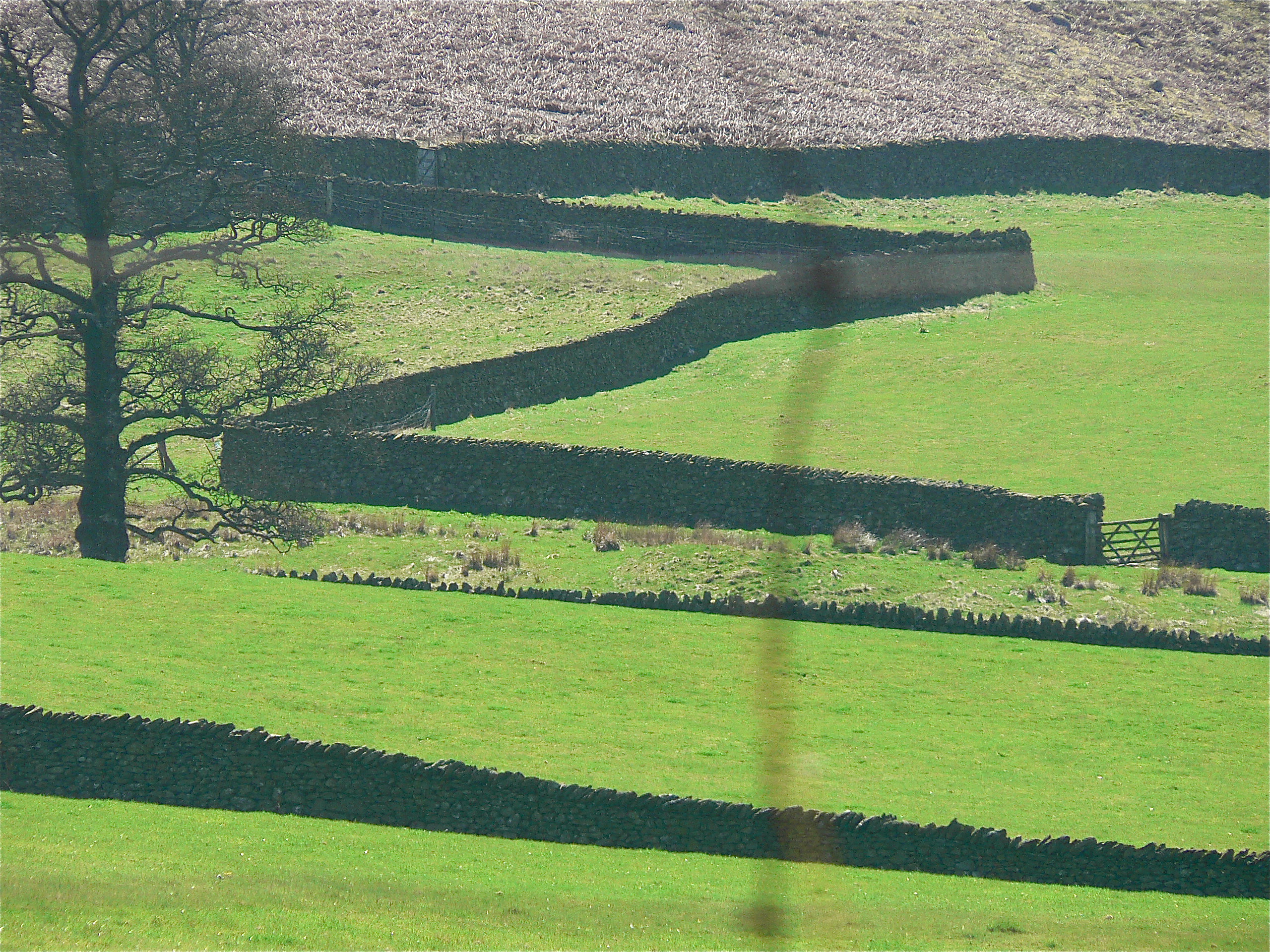
From the downs above Zennor and Boswednack, this landscape appears as an assembled patchwork; panels of pasture and meadows, an irregular hotchpotch of small enclosures sewn together by the seams of dry stone walls known locally as ‘Cornish hedges’, many of which boast a Bronze Age origin – archaeology recovered from the field walls themselves confirms that they are the oldest working artefacts in the world.
Nobody is quite sure, but there are thought to be around 125,000 miles of dry stone wall in Britain, mainly in upland areas north and west of the Tees-Exe line, where hedges don’t survive well, but also where the materials to build them are freely available. Construction is demanding.
A shallow foundation is dug – between 70 and 90cm wide – and large stones that can take the load of the wall are laid in this trench, the faces of the wall, which tapers towards the top ‘coping stones’ where it will be just 30cm wide, are laid next and the core is filled with looser rubble. At periodic intervals, a course of ‘through stones’ ties the two sides together.
It takes around two tonnes of stone to build every metre of wall and, ideally, all of that should come from the field that the wall is in. In that way, at least, every wall not only forms part of the landscape but is also formed by the landscape, so much so that the dedicated landscape reader can deduce rich detail about local geology simply by looking at a wall.
Not only local geology, but ownership as well – if a wall is over five feet, it’s probably a boundary as well as a field wall – while the march of walls across the landscape is also a chronicle of our relationship with the land. In Anglo-Saxon times, for instance, agriculture was concentrated in the lowlands where it was more successful with the techniques of the day and it wasn’t until the twelfth century enclosures of the Cistercians that dry stone walling made a come-back – indeed you can still see medieval field walls at Fountains Abbey in North Yorkshire.
The history of dry stone walls is also the history of the enclosures that started in the fifteenth and lasted until the nineteenth century; the story of the agricultural invasion of the uplands, culminating in the Parliamentary Enclosures of the eighteenth century when swathes of moorland commons were walled off to graze sheep.